Modern Overhead Line Design
Netlin® is a powerful and easy-to-use web application for designing overhead line systems in local and regional grids. Plan line routes, generate terrain profiles, and run finite element (FEM) analysis, all in one modern platform. As a web application, Netlin® makes it easy to share projects and collaborate throughout the entire project lifecycle.
Get started with Netlin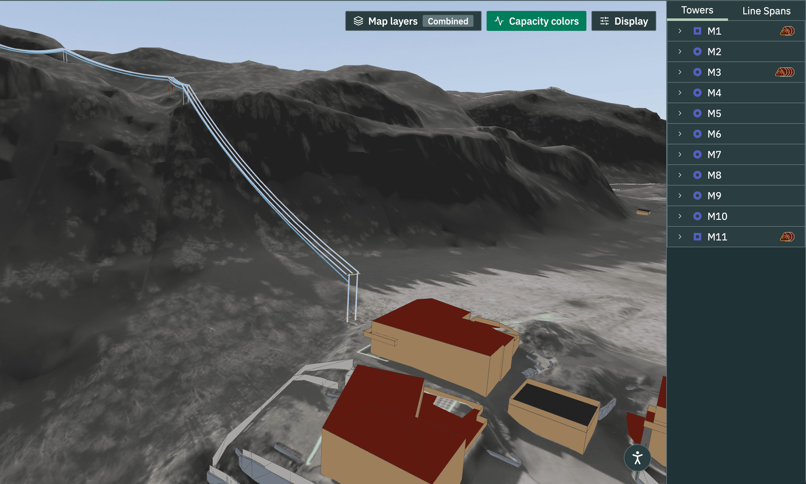
Route Planning
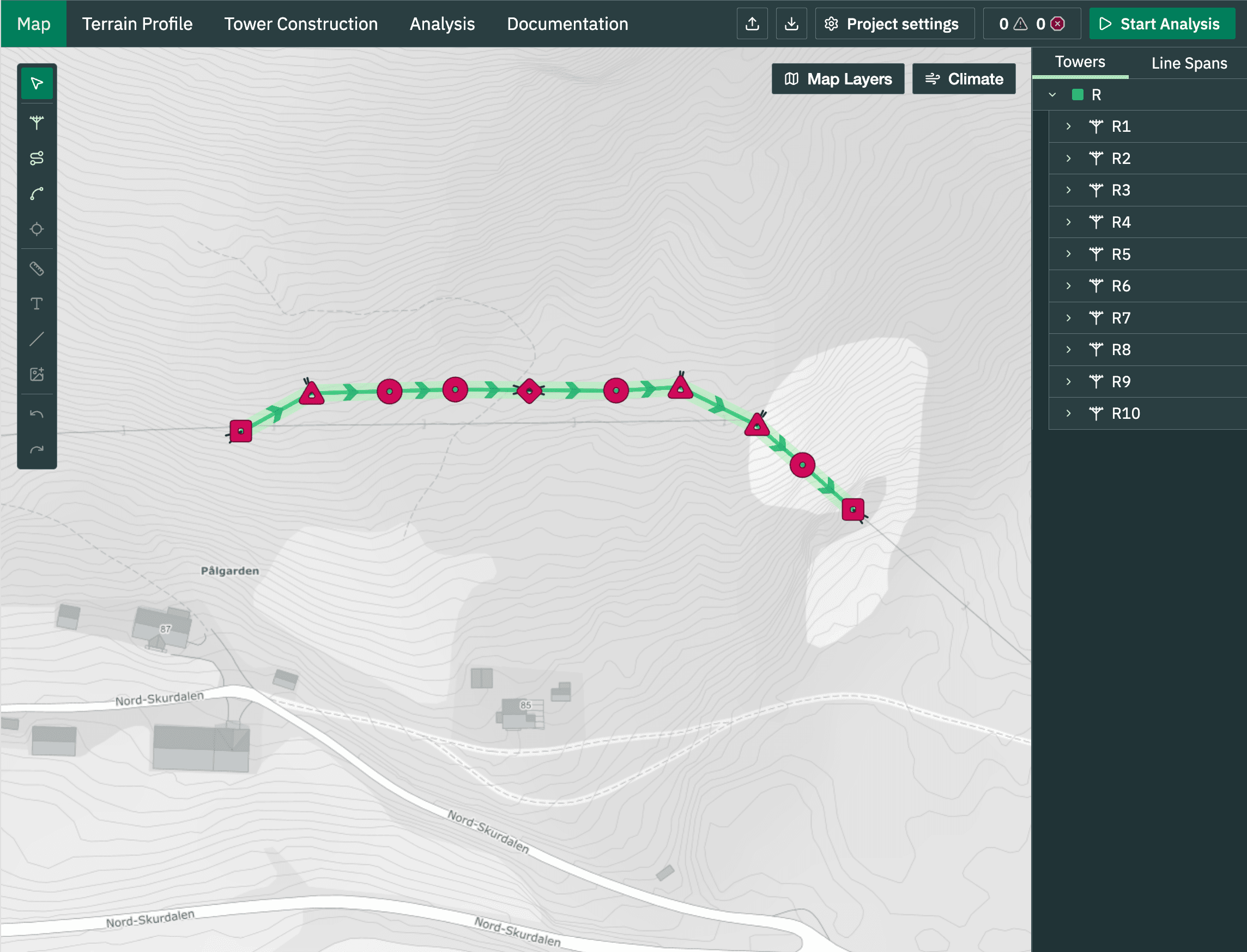
Plan line routes directly in detailed integrated maps, using standard equipment. One shared project takes you from first sketch to final documentation.
Maps and LiDAR Scan
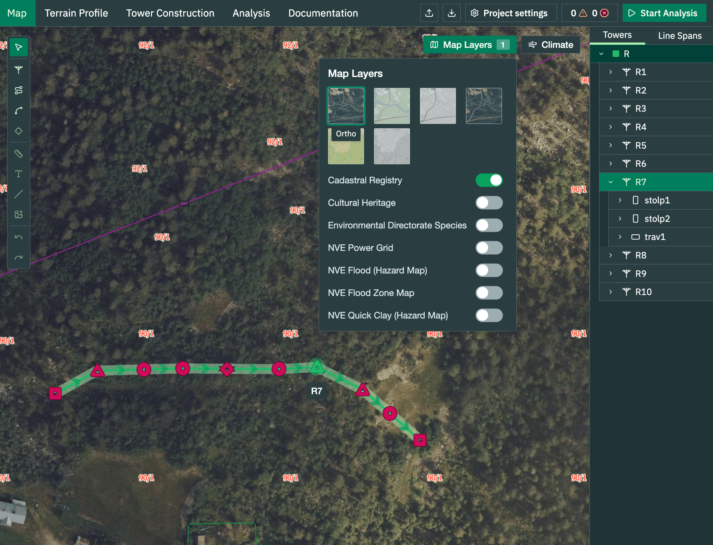
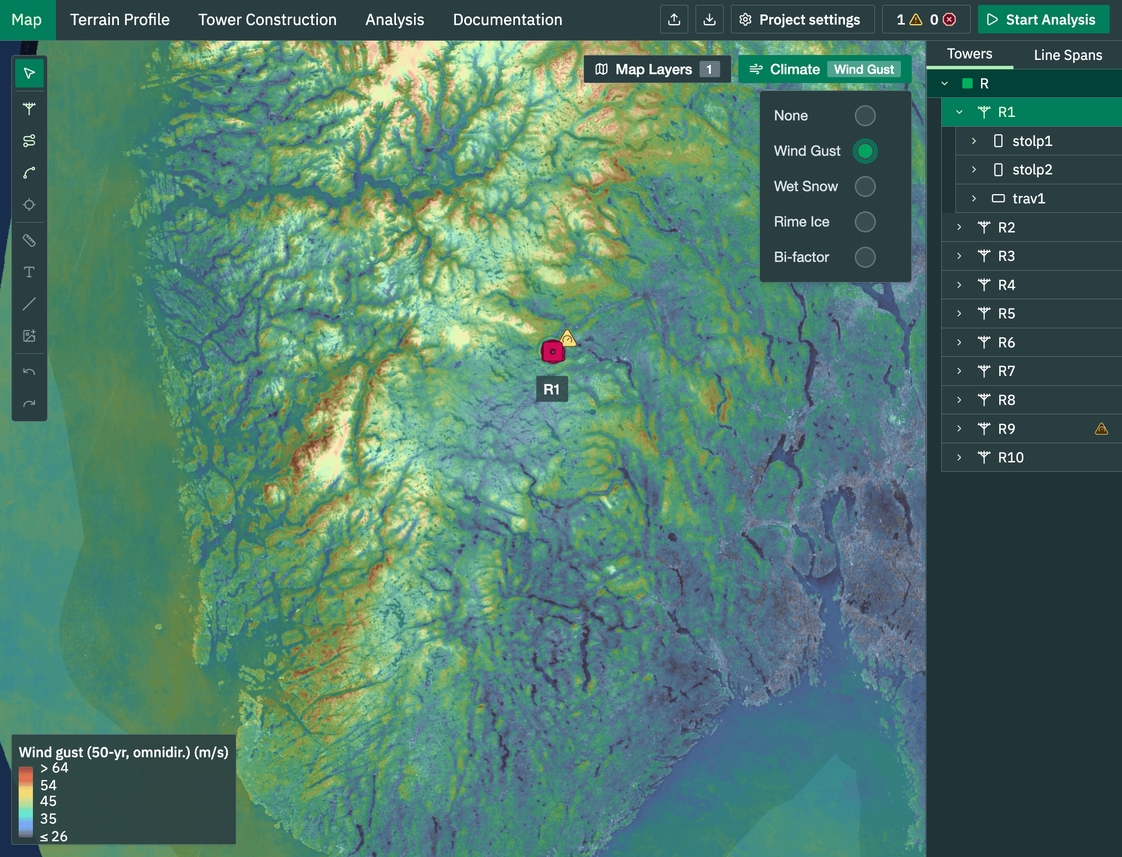
Topographic maps, orthophotos, laser-scanned terrain (LiDAR), and property registers are all available as switchable map layers. Place poles directly on the map and Netlin® calculates the terrain profile automatically. No more wet shoes: verify ground clearance from your desk, with no field visit needed.
Analyse with FEM
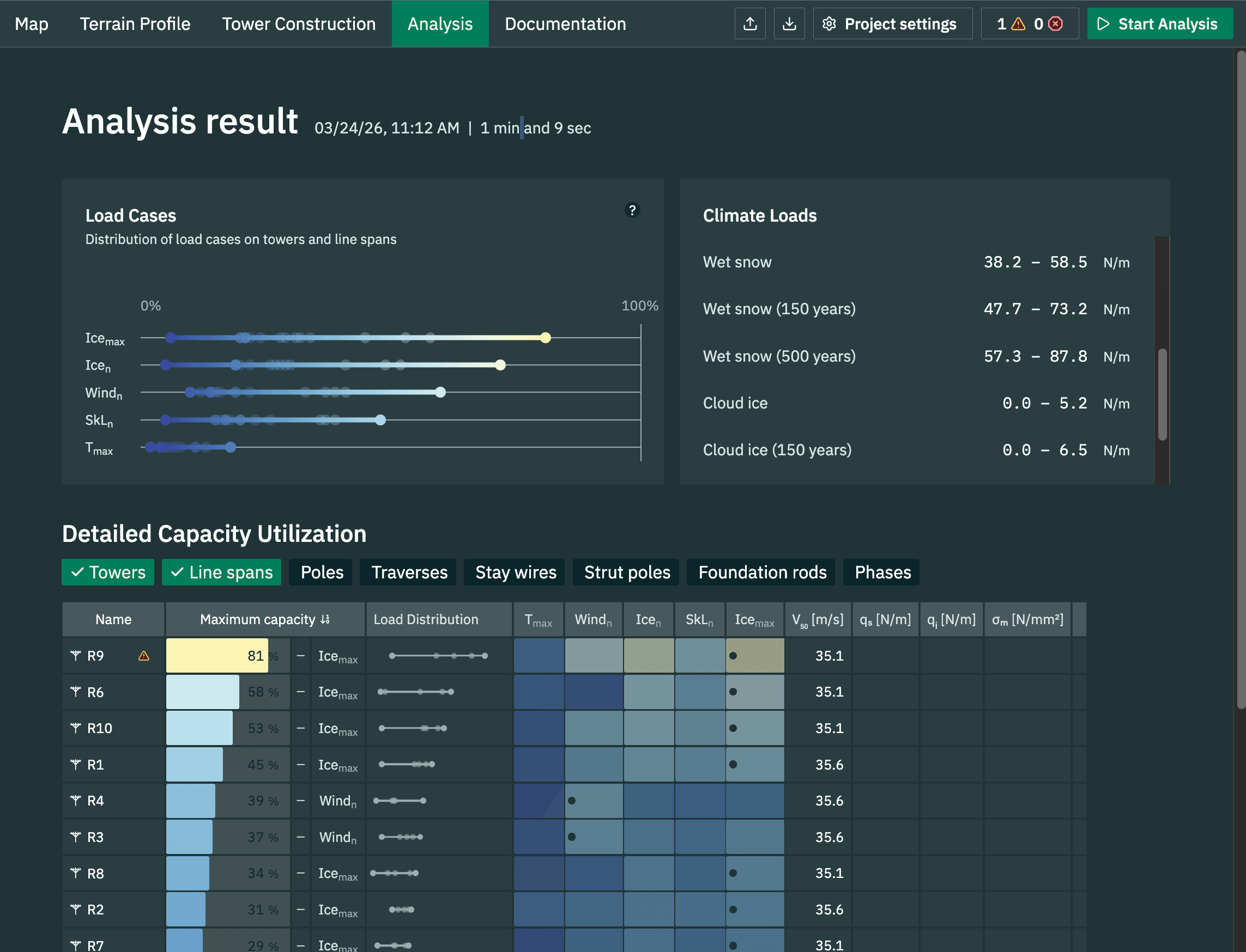
True Finite Element Analysis for every construction type. Full FEM-based structural analysis of poles and spans with wind, ice, and snow loads. Forces, moments, and displacements are calculated with real engineering precision, and accurate load distribution across the entire system.
Climate Data and Load
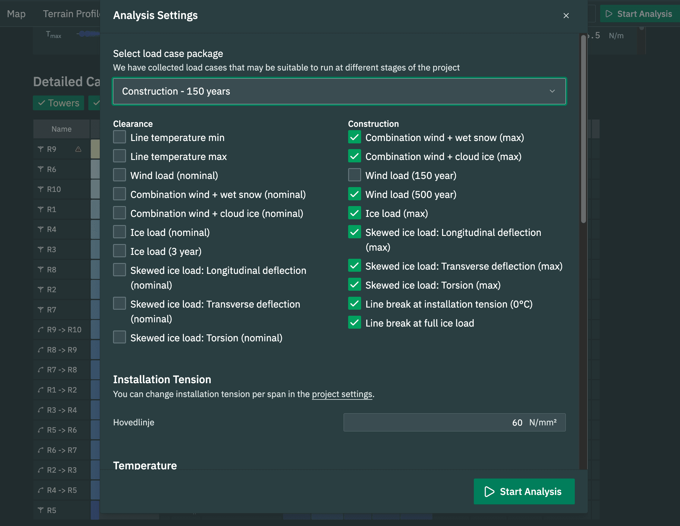
Wind loads, ice loads, combined wind and ice, snow depth, and minimum temperature all come from validated high-resolution climate maps integrated directly into Netlin®. The correct load cases are selected automatically based on the project's geographic location, with no manual lookups or separate meteorology reports for standard cases.
National Standards
Tailored to your national standard, with compliance checks built in. Loads, clearances, and strength are verified automatically as part of the calculation. Netlin® comes pre-configured for EN 50341 (NEK 445) with Nordic-specific load cases, supports both high-voltage (HV) and low-voltage (LV) overhead line design, and offers an adaptable framework for other national annexes.
Collaboration
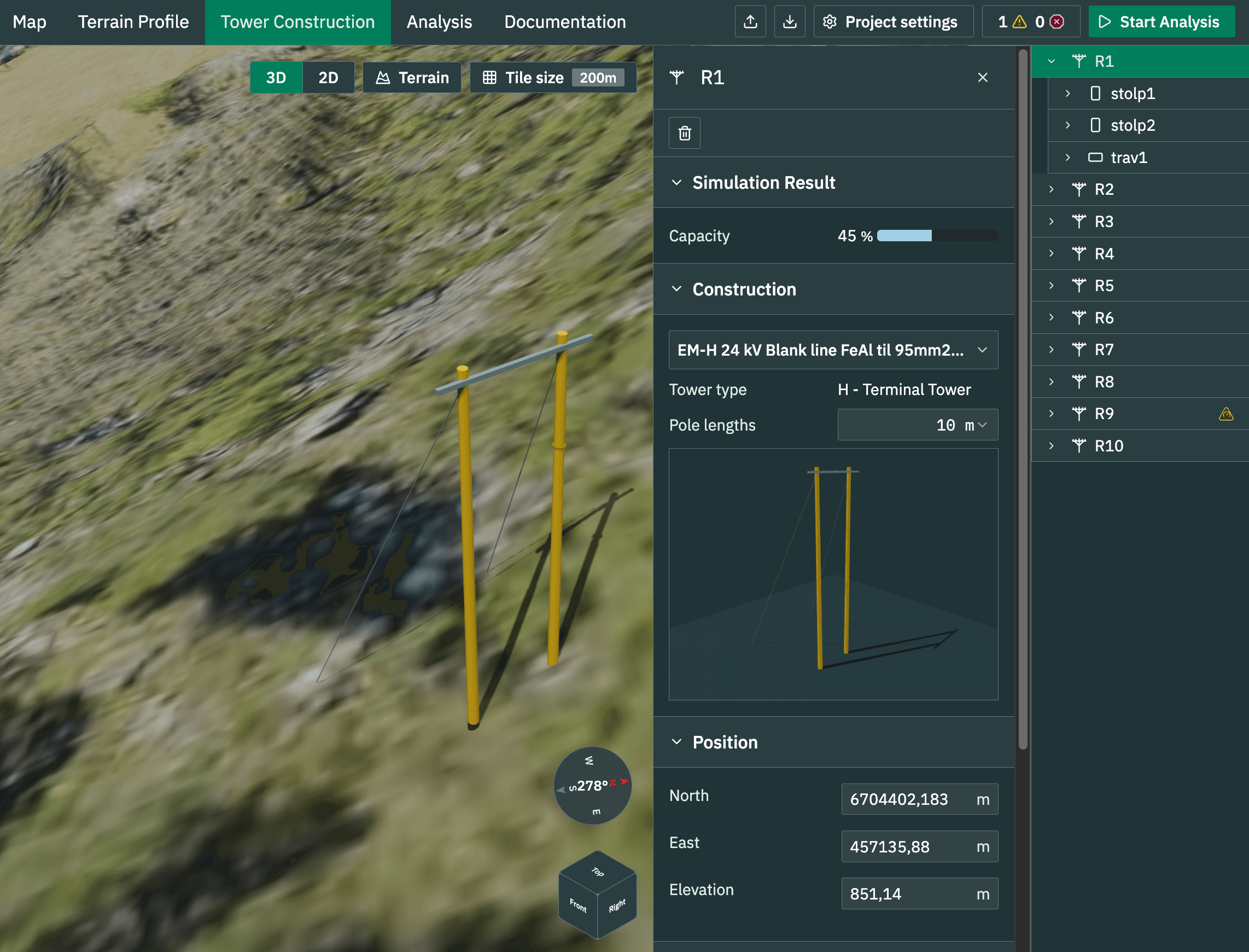
As a web application, Netlin® makes it easy to share and collaborate on projects in real time. Visualize your constructions in 3D and highlight where changes are needed to stay within capacity limits.
Ready to modernise your line design?
Netlin® brings route planning, terrain profiling, and FEM analysis together in one modern platform, tailored to your standards and built for your teams.
Contact us